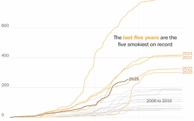
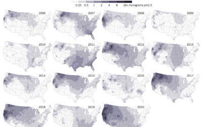
The wildfires keep coming, and the smoke pollution keeps filling the air. It…
wildfire
-
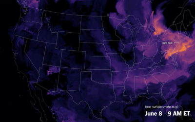
More wildfire smoke, pollution, and days
-
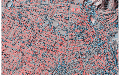
Lidar to measure climate disasters
Jon Keegan of Beautiful Public Data highlights researchers who used lidar to estimate…
-
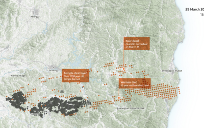
Reach of a deadly wildfire in South Korea
South Korea experienced its largest and most deadly wildfire last month in Uiseong…
-
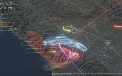
Flight map shows firefighting efforts
To contain the fires in Los Angeles, aircraft flew back and forth to…
-
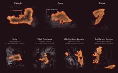
Fastest-growing and most destructive fires
Using satellite data, researchers analyzed the growth rate of 60,000 fires in the…
-
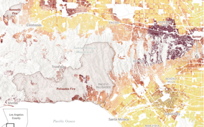
Wildfire risk for buildings in Los Angeles
As we have learned in recent weeks, even when homes seem far away…
-
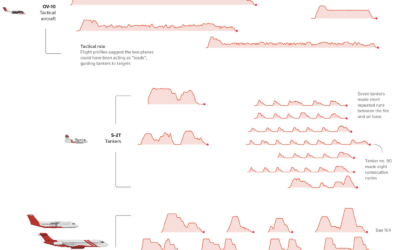
Fighting fire from the sky
For Reuters, Simon Scarr, Vijdan Mohammad Kawoosa, and Sudev Kiyada use flight data…
-
Visual guide to the wildfire damage
The Guardian provides a visual guide to the damage in Los Angeles with…
-
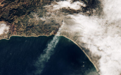
Palisades fire, seen from above
Sentinel-2 satellite of the European Space Agency captured an image of the Palisades…
-
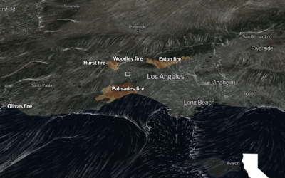
Wind flow patterns over Los Angeles
Based on data from NOAA, the New York Times shows the direction and…
-
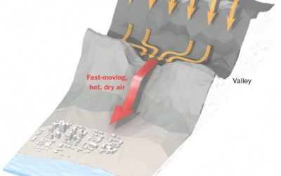
Hot winds fueling the fires
The Washington Post illustrates how air flows from the Great Basin, over the…
-
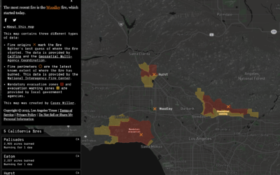
Map of active wildfires in California
This California wildfires map from Los Angeles Times shows an up-to-date status in…
-
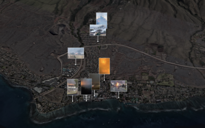
Maui fires timeline, a visual reconstruction of the events
Using a combination of weather reports, videos, and 911 calls, The New York…
-
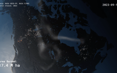
Realistic rendering of Canada’s wildfires
Peter Atwood used NASA data to depict the wildfires in Canada this year.…
-
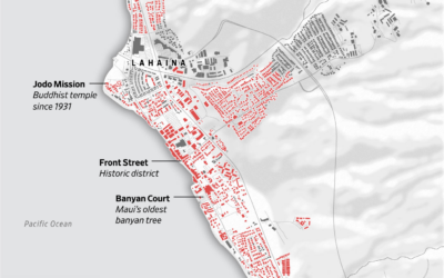
Map of Lahaina buildings destroyed in wildfire
Most of the Maui town Lahaina was destroyed by wildfire. The Wall Street…
-
Smoke from Canada wildfires over the U.S.
Wildfires in one area means smoke and pollution travels to surrounding areas, even…
-
Maps of wildfire smoke pollution
Wildfire obviously damages the areas it comes in direct contact with, but wildfire…
-
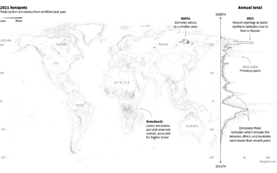
Emissions from fires in the Arctic
Reuters reported on the fires in the Arctic and the relatively high levels…
-
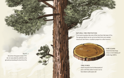
Sequoia tree wildfire protection
For Reuters, Travis Hartman, Ally J. Levine, and Anurag Rao describe the measures…
-
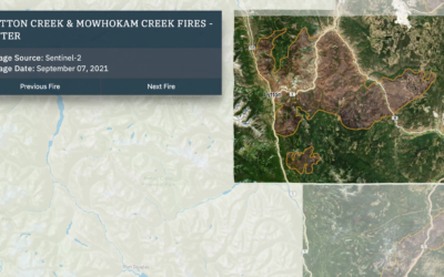
Wildfires and floods, a geographic before and after
In 2021, a large portion of North America was stuck in a heat…


 Visualize This: The FlowingData Guide to Design, Visualization, and Statistics (2nd Edition)

